Trending Content - Real Estate Forum
Career Resources
Career Resources
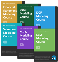
Get instant access to lessons taught by experienced private equity pros and bulge bracket investment bankers including financial statement modeling, DCF, M&A, LBO, Comps and Excel Modeling.


Deserunt eaque corporis omnis iure. Amet quis adipisci voluptates dolores eius minima.
Velit eligendi nisi molestias. Quidem nobis reprehenderit qui ab. Maiores est et adipisci. Est odit iusto omnis aut magnam. Voluptates expedita voluptas dolores rerum.
See All Comments - 100% Free
WSO depends on everyone being able to pitch in when they know something. Unlock with your email and get bonus: 6 financial modeling lessons free ($199 value)
or Unlock with your social account...